Bhu Netra offers trusted property management services, ensuring land security, compliance, and value enhancement through transparent, professional, and end-to-end solutions for every landowner.
Accurate measurements and mapping for clear, dispute-free property boundaries.
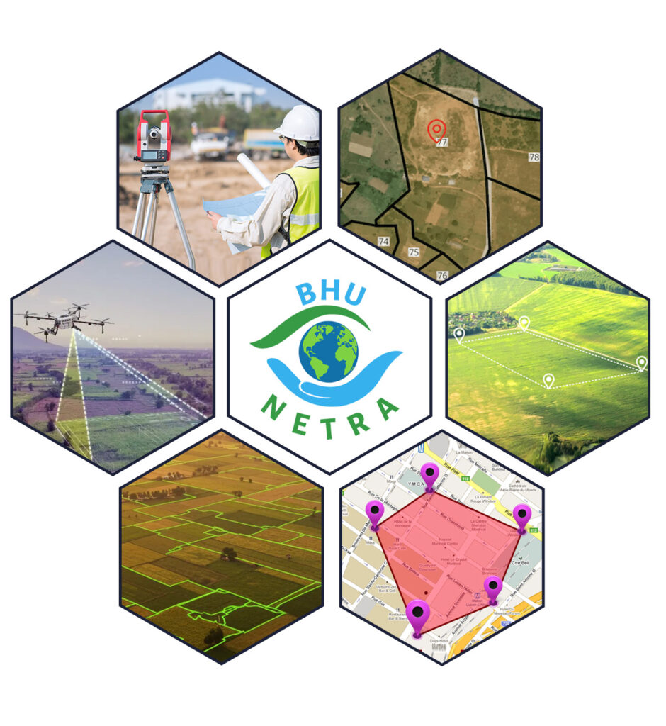
At Bhu Netra, our Land Survey services form the foundation of accurate land management and development. We use advanced surveying techniques and modern technology to deliver precise measurements, boundary mapping, and topographical assessments for all types of properties.
Our expert surveyors conduct boundary verification, demarcation, and land mapping to ensure your property limits are clearly defined and compliant. Whether it’s farmland, open plots, or residential land, we provide detailed survey reports that help prevent disputes, encroachments, and ownership confusion.
We also offer drone-assisted and GPS-based surveys for large or complex properties, providing high-accuracy data for construction, registration, and land development planning. With Bhu Netra, you gain a clear, documented understanding of your property’s boundaries and dimensions—ensuring your investment remains protected and ready for future growth.
Absolutely. We conduct professional land surveys for farmlands, residential plots, industrial lands, and commercial sites across Telangana and Andhra Pradesh.